2 stable releases
| 1.0.1 | Sep 12, 2020 |
|---|---|
| 1.0.0 | Sep 8, 2020 |
#1650 in Encoding
Used in gsi
280KB
84 lines
GSJ
Implementation of "Nishioka-Nagatu-2015 method" of "Geological Survey of Japan" (GSJ).
Features
- Altitude Tile; (ja: 標高タイル)
- Nishioka-Nagatsu-2015 method (ja: 西岡-長津-2015年法)
- Decoder
- Encoder
- Nishioka-Nagatsu-2015 method (ja: 西岡-長津-2015年法)
Examples or Tests
- To see: ./tests/test.rs
Reference
- https://www.jstage.jst.go.jp/article/geoinformatics/26/4/26_155/_article/-char/en; en-US
- https://www.gsj.jp/; ja-JP
See also
License
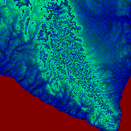
GSI files in tests/ dir
These files are GSI's DEM tile. It's for only to use unit tests, no need essentially.
- tests/gsi-dem-z8-x229-y94.png; from https://cyberjapandata.gsi.go.jp/xyz/dem_png/8/229/94.png
- tests/gsi-dem-z8-x229-y94.txt; from https://cyberjapandata.gsi.go.jp/xyz/dem/8/229/94.txt
Author
- USAGI.NETWORK / Usagi Ito https://usagi.network/
Dependencies
~5.5MB
~77K SLoC