3 stable releases
Uses old Rust 2015
| 1.1.0 | Aug 1, 2018 |
|---|---|
| 1.0.1 | Jul 31, 2018 |
| 1.0.0 | Jul 30, 2018 |
#279 in Visualization
21 downloads per month
27KB
527 lines
Cities Heightfield from GSI
en / ja
What's this
- This is a heightfield generator for CITIES : skylines
- Features
Usage
cui executable:
Usage (1) Interactive mode      : cui
Usage (2) Direct Invocation mode: cui [options]

Options:
        --longitude 141.315714
                        set longitude of a target
        --latitude 43.04724
                        set latitude of a target
    -o, --out out.png   set output file path
    -h, --help          show this help
    -v, --version       show the app version
e.g.; (1) type usage
cities_heightfield_from_gsi
And, you input parameters in interactive.
e.g.; (2) type usage
cities_heightfield_from_gsi --longitude 141.315714 --latitude 43.04724 --out Maruyama_Sapporo_Hokkaido_Japan.png
gui executable:
( Sorry it's under the development yet. In now, please use cui. )
Output Examples
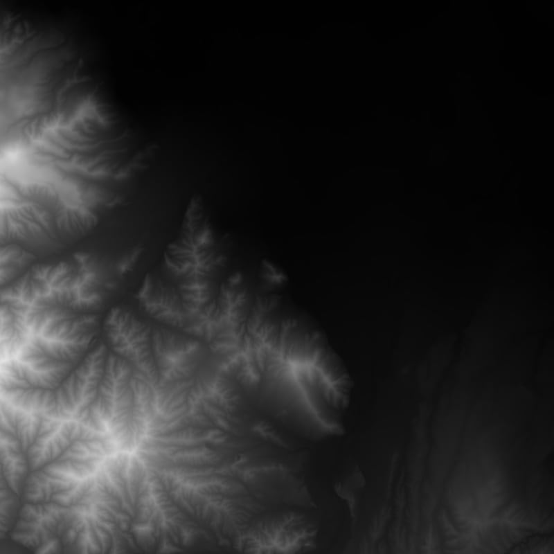
e.g. Maruyama, Sapporo, Hokkaido, Japan
cities_heightfield_from_gsi --longitude 141.315714 --latitude 43.04724 --out Maruyama_Sapporo_Hokkaido_Japan.png
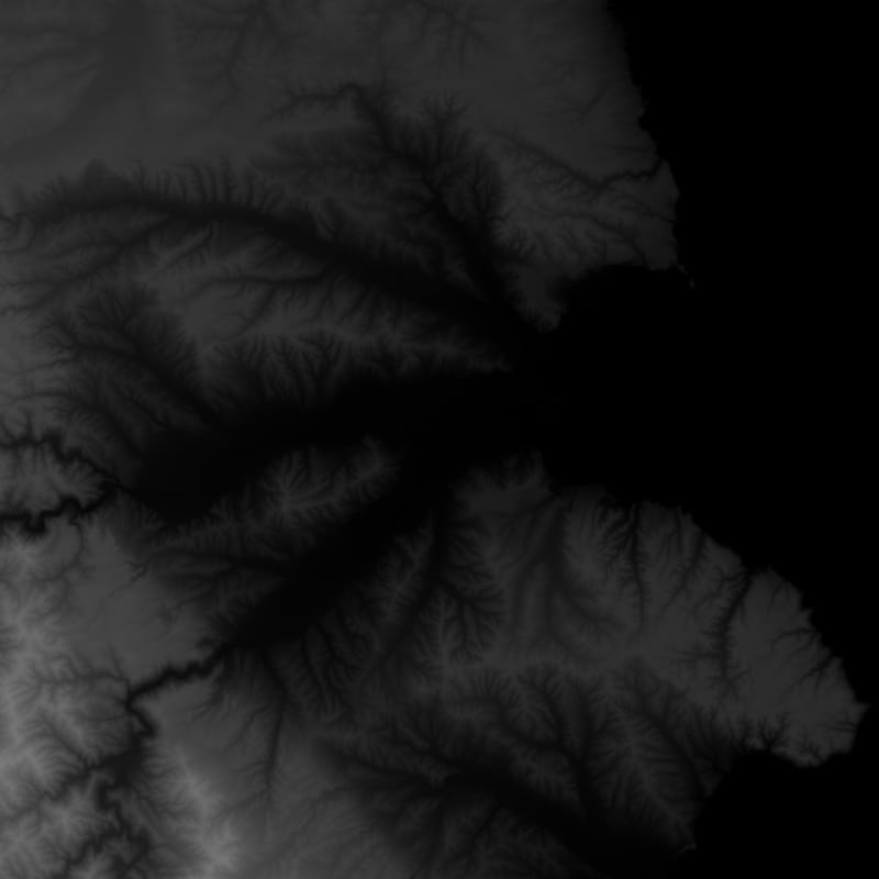
e.g. Kuji, Iwate, Japan;
cities_heightfield_from_gsi --longitude 141.775583 --latitude 40.190524 --out Kuji_Iwate_Japan.png
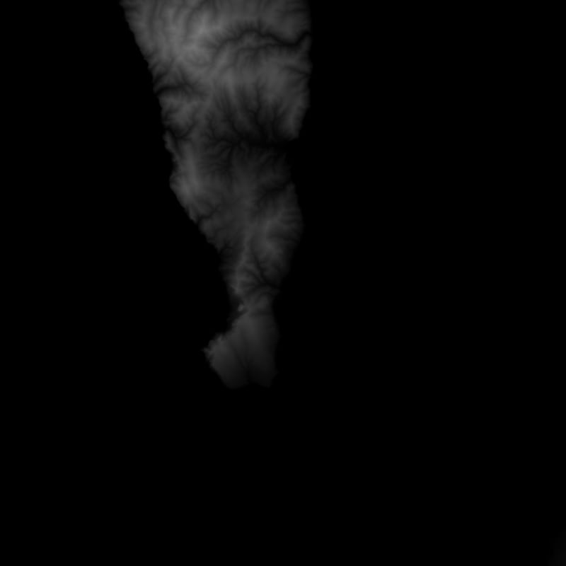
eg.2 Rebun, Hokkaido, Japan
cities_heightfield_from_gsi --latitude 45.30302 --longitude 141.047689 --out Rebun_Hokkaido_Japan.png
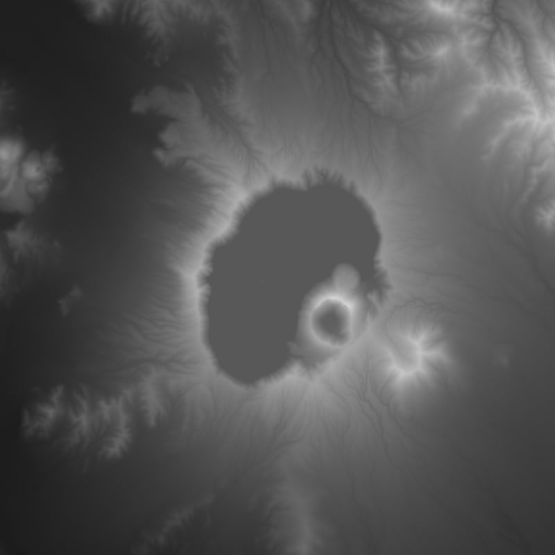
eg.3 Mashuuko, Teshikaga, Hokkaido, Japan
cities_heightfield_from_gsi --latitude 43.580411 --longitude 144.533489 --out Mashuuko_Teshikaga_Hokkaido_Japan.png
eg.4 Mutsu, Aomori, Japan
citis_heightfield_from_gsi --latitude 41.292746 --longitude 141.183476 --out Mutsu_Aomori_Japan.png
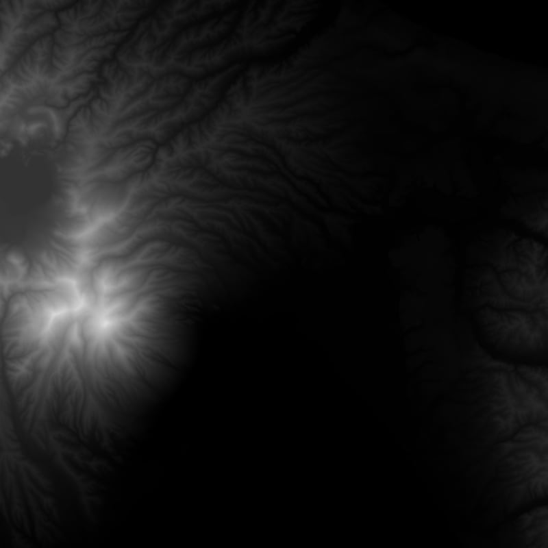
eg.5 Wakamatsu, Goto, Nagasaki, Japan
citis_heightfield_from_gsi --latitude 32.89027 --longitude 129.013749 --out Wakamatsu_Goto_Nagasaki_Japan.png
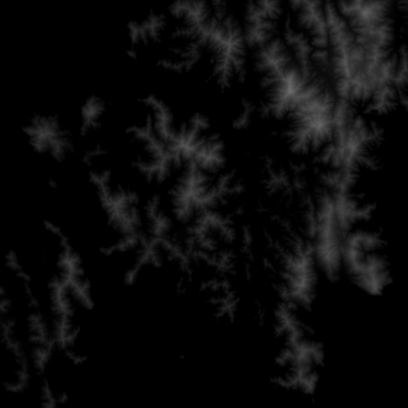
eg.6 Ishigaki-shi, Okinawa, Japan
citis_heightfield_from_gsi --latitude 24.340661 --longitude 124.15558 --out Ishigaki_Okinawa_Japan.png

Download executable binary ( Windows Only )
How to build from the souce
cargo build --release
License
This app
Generated data
- GSI Licencing Agreements (ja)
- Copyright Notices (ja)
Author
Usagi Itousagi@WonderRabbitProject.net Made in Sapporo, Hokkaido, Japan.
Special Thanks
Ryuichiro Nagahama; several bug reports and propose feature requests.
References
- http://www.skylineswiki.com/Map_Editor
- https://steamcommunity.com/app/255710/discussions/0/611702631244016398/?l=japanese
- https://www.reddit.com/r/CitiesSkylinesModding/comments/31l4xu/importing_model_with_maya_2014/
- http://www.linz.govt.nz/data/geodetic-system/datums-projections-heights/geodetic-datums/world-geodetic-system-1984-wgs84
- http://wiki.openstreetmap.org/wiki/Zoom_levels
Dependencies
~20–28MB
~509K SLoC