2 unstable releases
| 0.4.0 | Mar 15, 2023 |
|---|---|
| 0.3.0 | Dec 11, 2022 |
#46 in #extractor
24 downloads per month
685KB
190 lines
OSM Road Graph Extractor
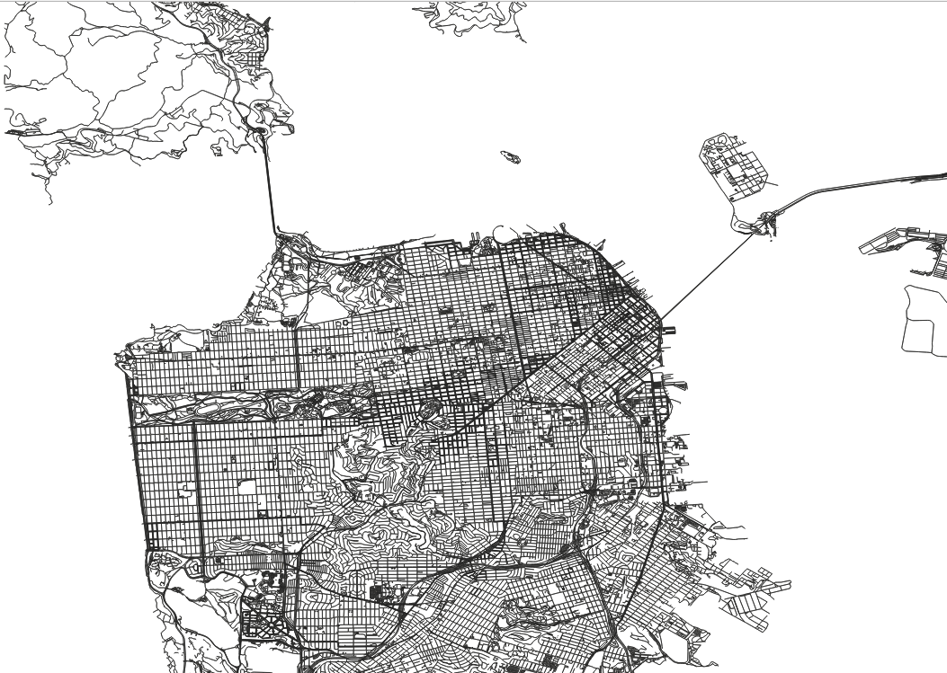
This project is a simple command-line tool that reads a .osm.pbf file containing OpenStreetMap data and generates a road graph in the form of two CSV files: one for the nodes and one for the edges. The road graph can be used for various purposes, such as routing or visualizing the road network.
Running
cargo run --release -- --pbf-file ~/SanFrancisco.osm.pbf --output-dir data
Output
The road graph is written to two CSV files: one for the nodes and one for the edges. The node CSV file has the following format:
node_id,latitude,longitude
1,47.12345,-122.12345
2,47.23456,-122.23456
Each row in the file represents a node in the road graph, and includes the following information:
node_id: The unique identifier of the node.
latitude: The latitude coordinate of the node.
longitude: The longitude coordinate of the node.
The edge CSV file has the following format:
from_node_id,to_node_id
1,2
2,3
Each row in the file represents an edge in the road graph.
RoadGraph, a faithful friend
Oh RoadGraph, faithful friend of mine,
Thou art a map of roads most fine.
With nodes and edges, thou doth show
The paths that lead where e'er we go.
Thou doth make plain the way ahead,
And doth from danger keep us wed.
Thy faithful representation doth not bend,
But stands as true as time itself doth wend.
From PBF files, thou doth imbibe,
And doth to CSV files then scribe.
A faithful servant, ever by our side,
Oh RoadGraph, in thee we can confide.
So here's to thee, dear RoadGraph, our guide,
Forever helping us on our journey wide.
License
This project is released under the BSD license. See LICENSE for more information.
Dependencies
~5.5–8.5MB
~143K SLoC